Table of Contents
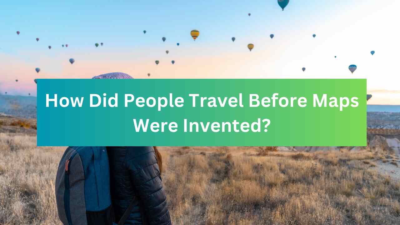
Traveling from one place to another is something we do every day. But have you ever wondered how people traveled before maps were invented? It’s a fascinating story that shows how clever and resourceful humans have always been. In this article, we’ll explore the different ways people found their way around the world long before modern maps existed.
1. Using the Sun, Moon, and Stars
Before maps, people relied heavily on the sky to guide them. The sun, moon, and stars were like natural GPS systems.
- The Sun: During the day, travelers used the sun’s position to figure out directions. For example, they knew the sun rises in the east and sets in the west. This helped them decide which way to go.
- The Stars: At night, the stars were a big help. The North Star, also called Polaris, was especially important because it always points north. Sailors and explorers used it to navigate the seas.
- The Moon: The moon’s phases and position also gave clues about time and direction. For example, a full moon meant it was easier to travel at night because of the extra light.
2. Following Natural Landmarks
People used natural features like mountains, rivers, and forests to find their way.
- Rivers: Rivers were like highways. People followed them to reach villages, towns, or other water sources. Rivers also provided fresh water and food, making them essential for long journeys.
- Mountains: Big mountains were hard to miss. Travelers used them as landmarks to stay on track. For example, if a mountain was to the east, they knew they were heading in the right direction.
- Trees and Plants: Certain trees or plants grew in specific areas. People learned to recognize these and used them as signs to guide their way.
3. Creating Mental Map
Before paper maps, people made mental maps in their heads. They remembered routes by landmarks, distances, and directions.
- Storytelling: Older generations passed down knowledge about routes through stories. For example, a grandfather might tell his grandson, “When you see the big oak tree, turn left to reach the next village.”
- Repetition: Traveling the same path many times helped people remember it. Over time, they could navigate without thinking too hard.
4. Using Animals for Guidance
Animals played a big role in helping people travel.
- Birds: Migrating birds fly in certain directions during different seasons. People noticed this and used it to figure out which way to go.
- Domestic Animals: Animals like horses, camels, and dogs have a strong sense of direction. Travelers trusted them to lead the way, especially in unfamiliar areas.
5. Early Tools for Navigation
Before modern maps, people invented simple tools to help them travel.
Also read

Designed By: masterlal.com
- Compass: The compass was one of the first navigation tools. It uses Earth’s magnetic field to point north. Even without a map, a compass could tell travelers which direction they were heading.
- Astrolabe: This ancient tool helped sailors measure the height of the sun or stars above the horizon. It was especially useful for long sea voyages.
- Sand Maps: Some cultures drew maps in the sand or dirt to plan their routes. These were temporary but helpful for short trips.
6. Learning from Others
Traveling was often a team effort. People relied on each other for guidance.
- Trading Routes: Traders traveled long distances to buy and sell goods. They shared knowledge about safe paths, dangerous areas, and where to find food and water.
- Local Guides: In unfamiliar places, travelers hired local guides who knew the area well. These guides could lead them through tricky terrain or bad weather.
7. Ancient Maps and Drawings
Even before modern maps, people made simple drawings to show directions.
- Cave Paintings: Some of the earliest “maps” were found in caves. These drawings showed hunting grounds, water sources, and other important locations.
- Clay Tablets: In ancient Mesopotamia, people used clay tablets to draw maps of cities and farmland. These were some of the first attempts to create a visual guide for travel.
8. The Importance of Memory and Experience
Before maps, experience and memory were the most important tools for travel.
- Seasonal Knowledge: People knew that certain routes were easier to travel during specific seasons. For example, a path might be flooded in the rainy season but dry and safe in the summer.
- Trial and Error: Travelers often learned by making mistakes. If they got lost, they would remember not to take that path again.
Conclusion
Traveling before maps were invented was challenging, but people found clever ways to navigate. They used the sun, stars, natural landmarks, animals, and even simple tools to find their way. They also relied on each other, sharing knowledge and experiences to make travel safer and easier.
Today, we have GPS and detailed maps at our fingertips. But the methods used by our ancestors remind us of how resourceful and creative humans can be. Next time you look at a map, take a moment to appreciate the long history of exploration and discovery that made it possible.
Sources
- National Geographic: History of Maps
- Britannica: Ancient Navigation Tools
- History.com: How Early Humans Navigated
You may Also Like: Why Do We Celebrate Birthdays the Way We Do?


Designed By: masterlal.com


")